


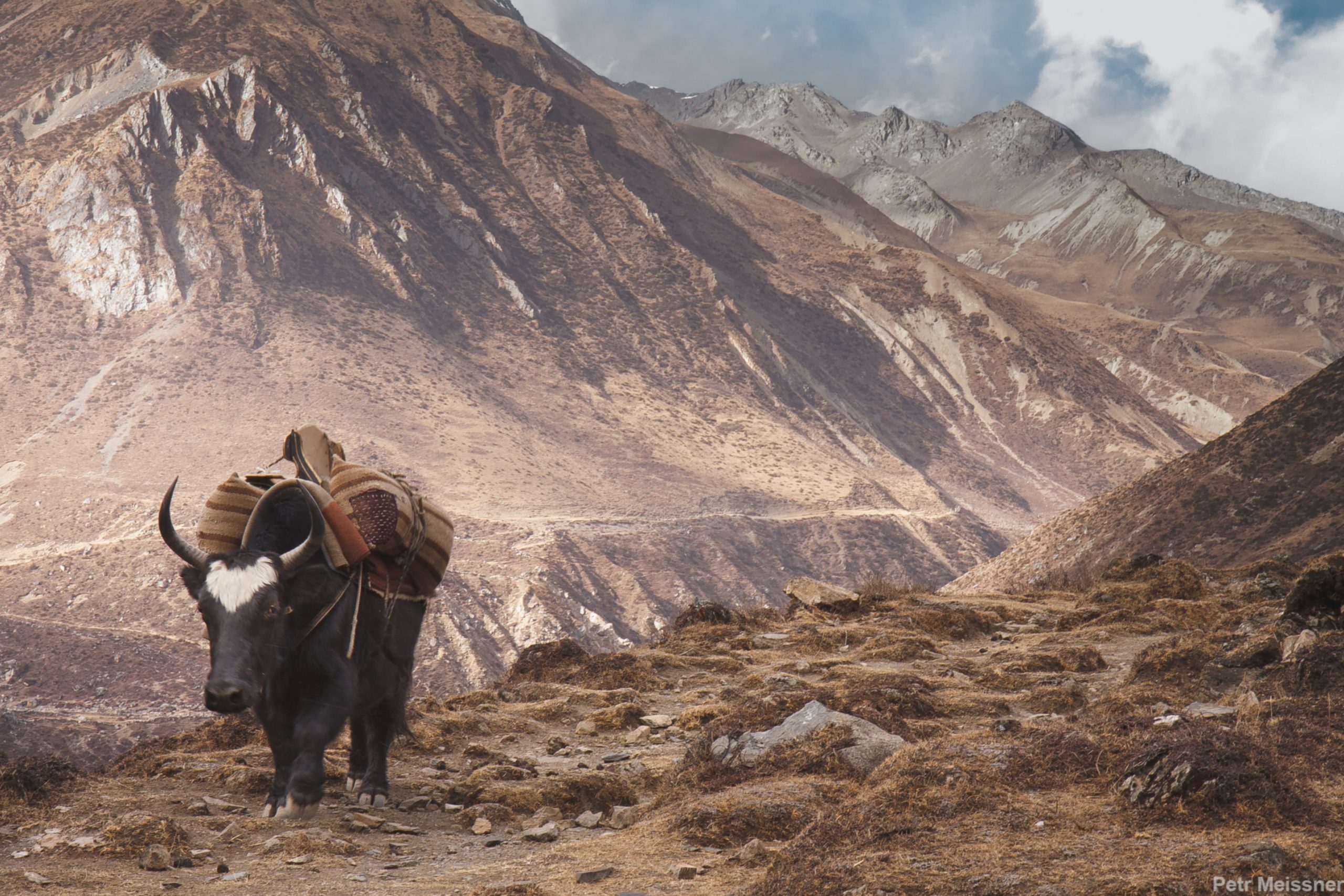
The Manaslu circuit trek is a 2-week long tea house mode trek around mount Manaslu scaling 8163m above sea level. You will get the highest elevation gain of 5105m at the Larke Pass. Since this is also one of the restricted regions you will need a group of at least two people to obtain the trekking permit. The 177 Km long trail follows an ancient salt trading route along the Budhi Gandaki river. On this trek, you will see 10 peaks over 6500m and a few over 7000m including the eighteenth-highest Himalchuli with an elevation of 7,893m. The major attractions of the area are high glacial lakes, Gurung villages, and rich biodiversity.Manaslu circuit trek starts by taking a jeep drive to Machha Khola in the Gorka district. From there the trail leads through the villages inhabited mostly by the Gurung communities. Through the misty alpine meadows accompanied by several river streams, you will cross the Larke Pass and descend to Bhimtang in the Marsyangdi valley. From Bhimtang you will follow an easy trekking trail to Dharmashala where you will catch a jeep drive back to Kathmandu.
Day 1: Drive from Kathmandu to Machhakhola at 930m
Driving from Kathmandu to Machhakhola, a small village in the foothills of the Himalayas is a scenic journey of approximately 130 km (81 miles) that takes around 5-6 hours, depending on road conditions and traffic. The route follows the Arniko Highway, passing through rural landscapes, small towns, and scenic hills. The destination, Machhakhola, is located at an altitude of 930m (3,051 ft) and is known for its stunning mountain views, lush forests, and traditional Newari culture.
Day 2: Trek to Thulo Dhunga at 1250m
It is a relatively easy trek that covers a distance of approximately 15 km (9.3 miles) and takes around 5-6 hours of walking time, depending on the pace of the trekker. The trail follows a well-defined path through lush forests and terraced farmlands, offering stunning views of the surrounding mountains. Along the way, trekkers may encounter small villages, waterfalls, and local communities. Thulo Dhunga is located at an altitude of 1250m (4,101 ft) and is known for its panoramic mountain views, tranquil atmosphere, and traditional culture.
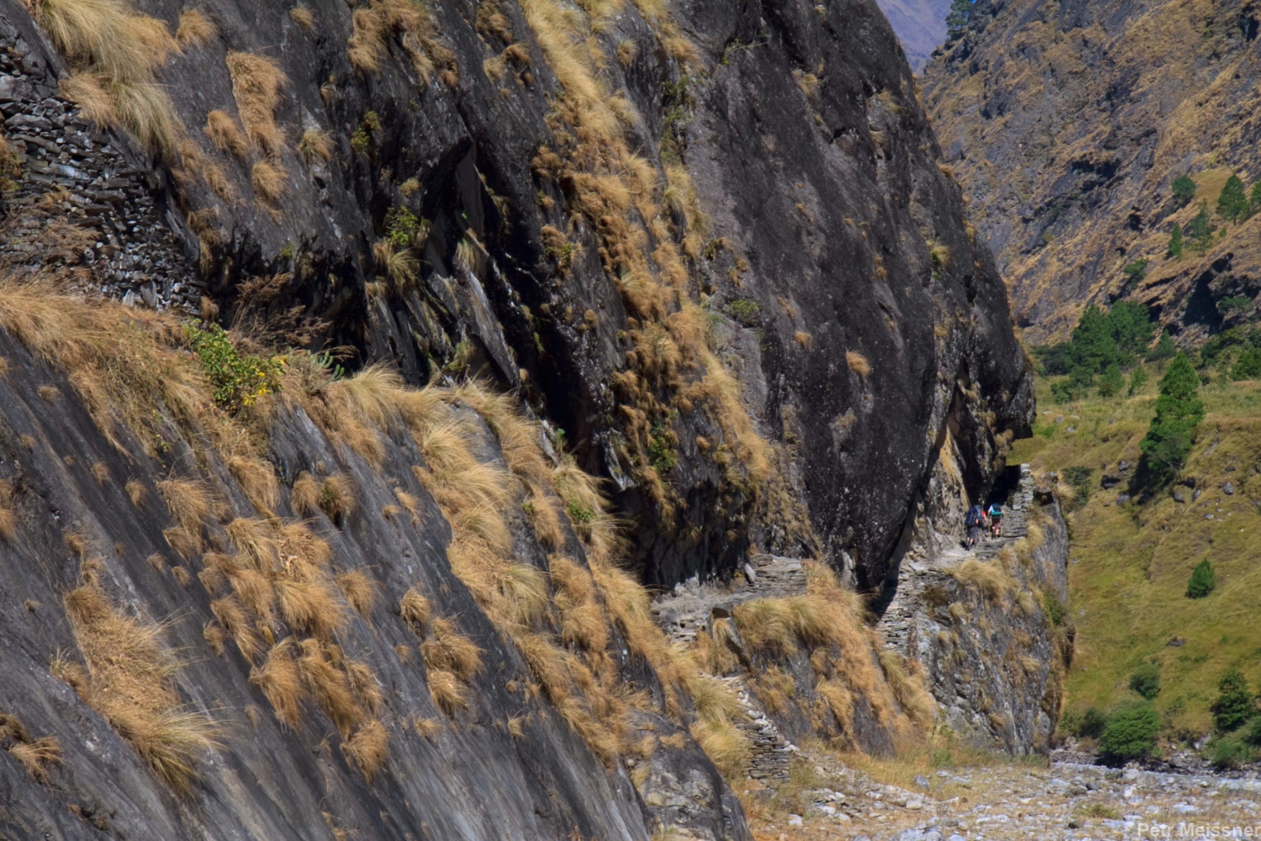
Day 3: Trek to Philim at 1570m
The trail covers a distance of approximately 12 km (7.5 miles) and takes about 4-5 hours of walking time, depending on the pace of the trekker. The route passes through small villages, terraced farmlands, and rhododendron forests, offering breathtaking views of the surrounding mountains, including the Annapurna range. Along the way, trekkers may encounter local communities, traditional Newari culture, and possibly wildlife. Philim, located at an altitude of 1570m (5,151 ft), is a small village known for its beautiful landscapes and traditional culture, as well as its proximity to the nearby waterfalls and hot springs.
Day 4: Trek to Chap 2165m
The trail covers a distance of approximately 10 km (6.2 miles) and takes about 5-6 hours of walking time, depending on the pace of the trekker. The route passes through lush forests, traditional villages, and farmlands, offering stunning views of the surrounding mountains, including the Annapurna range. Along the way, trekkers may encounter local communities, traditional culture, and possibly wildlife. Chap is located at an altitude of 2165m (7,100 ft) and is known for its panoramic mountain views and peaceful atmosphere, as well as its proximity to the nearby hot springs and trekking trails.
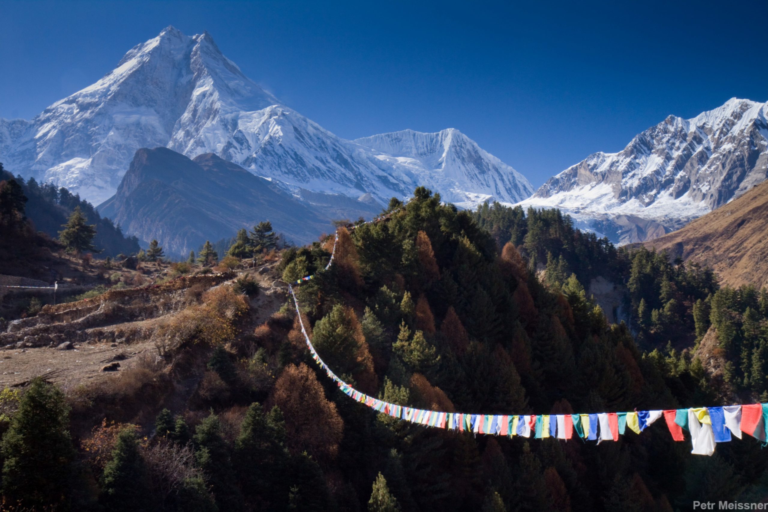
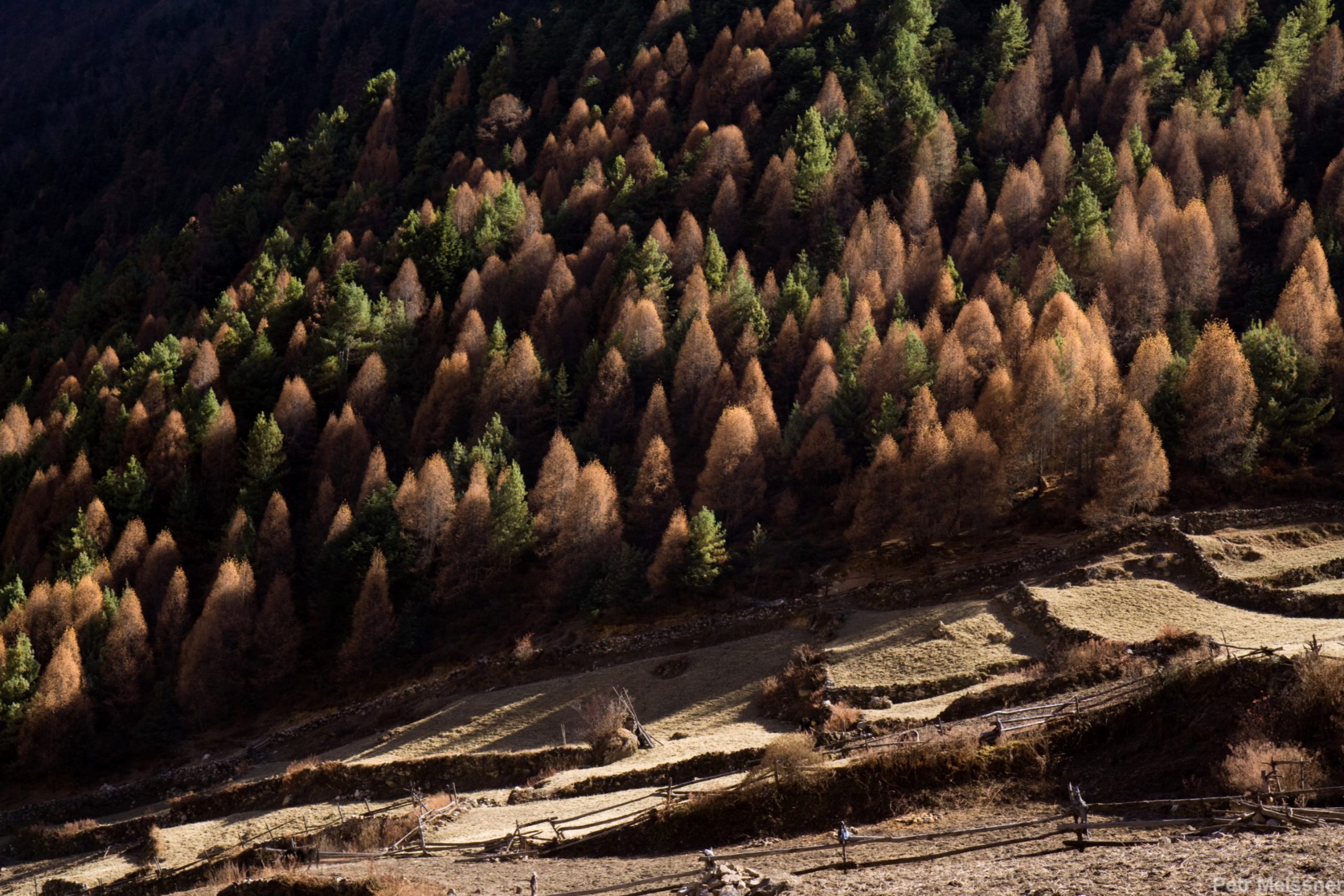
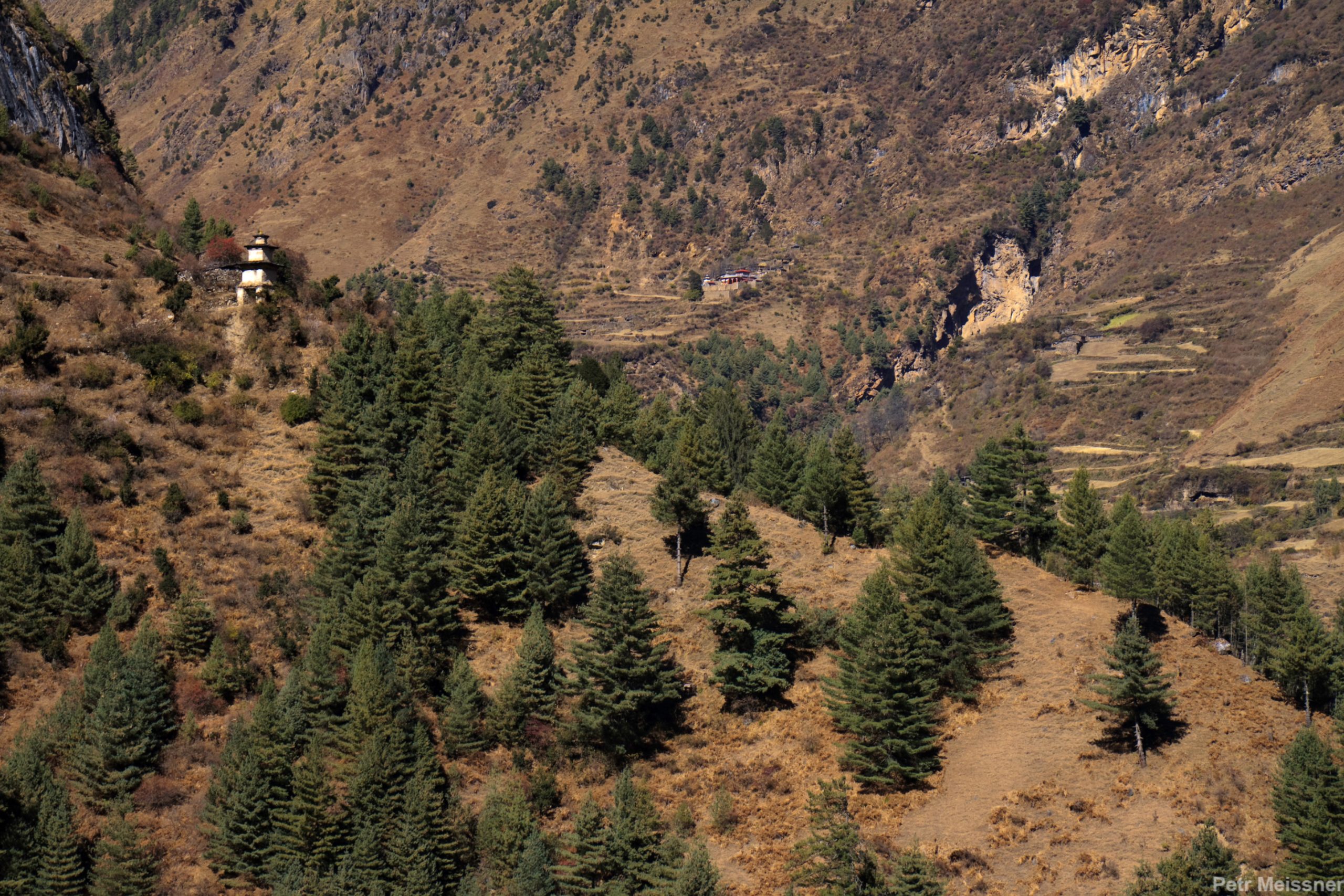
Day 5: Trek to Samagaon 3525m
The trail covers a distance of approximately 12 km (7.5 miles) and takes about 5-6 hours of walking time, depending on the pace of the trekker. The route passes through forests, traditional villages, and terraced farmlands, offering breathtaking views of the surrounding mountains, including the Annapurna range. The trail also crosses several suspension bridges and passes by a number of waterfalls. Along the way, trekkers may encounter local communities and traditional culture. Samagaon, located at an altitude of 3525m (11,550 ft), is a small village known for its stunning mountain views, peaceful atmosphere, and traditional culture, as well as its proximity to nearby trekking trails and high-altitude lakes.
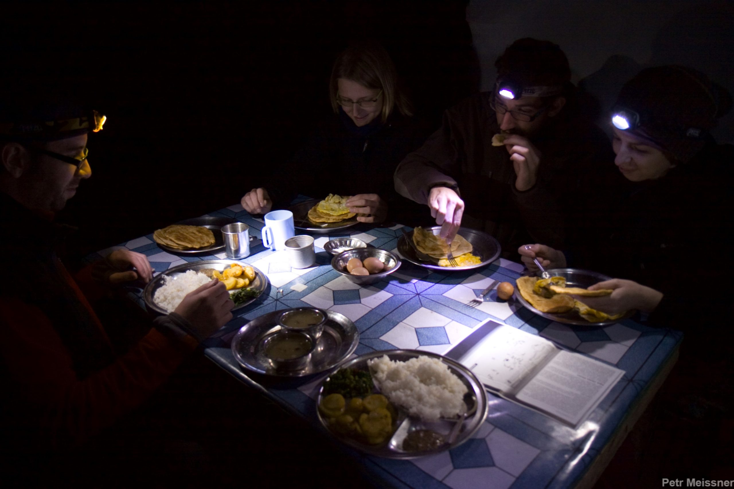
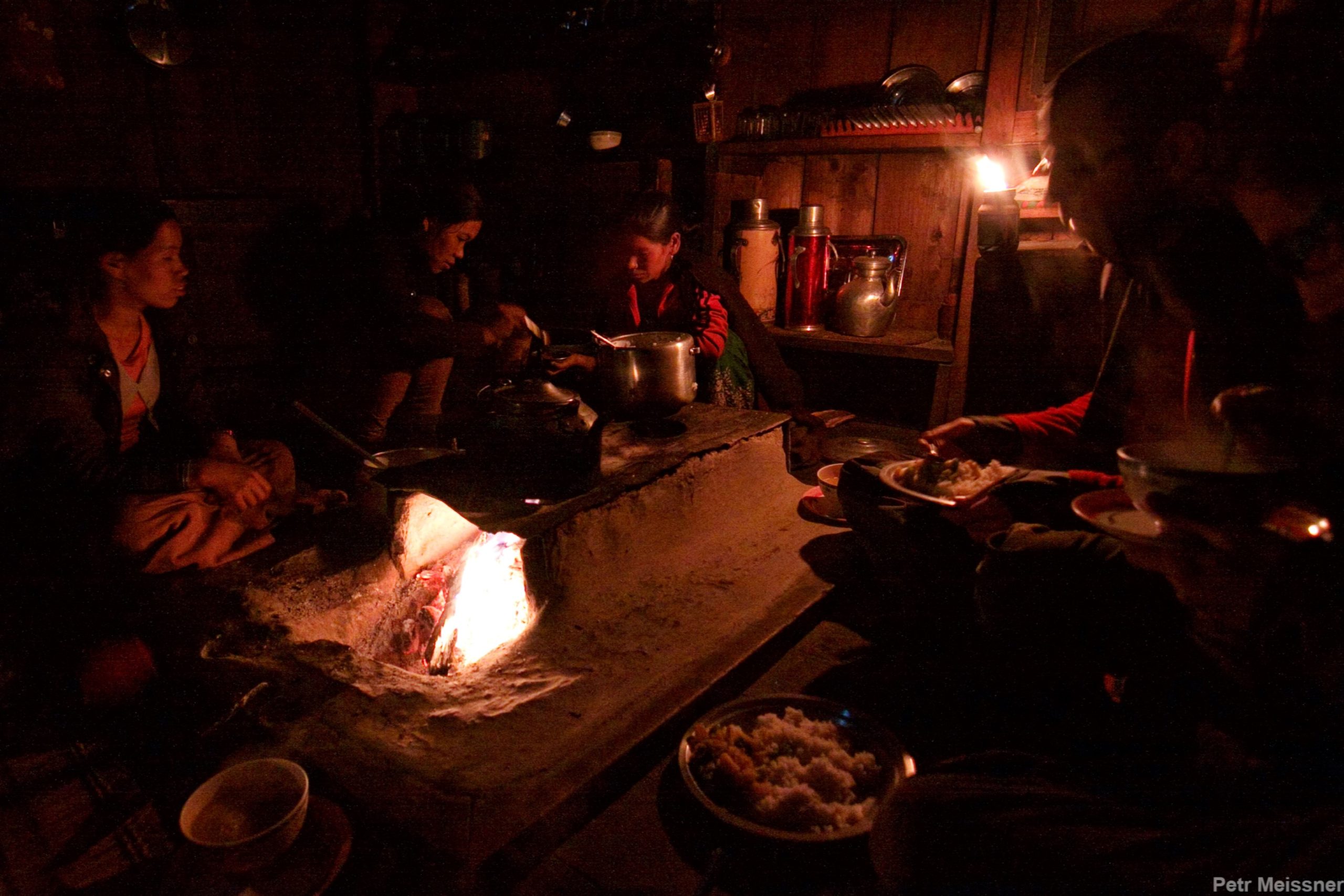
Day 6: Rest day
A rest day in Samagaon provides a much-needed break from the physical demands of trekking and offers an opportunity to explore the local culture and natural beauty of the region. Samagaon, located in the Annapurna region of Nepal, is known for its stunning mountain views, peaceful atmosphere, and traditional culture. Trekkers can spend their rest day exploring the local villages, visiting nearby waterfalls and hot springs, or simply relaxing and acclimatizing to the high altitude. Many trekkers also choose to use their rest day to visit nearby trekking destinations, such as Samdo or the Birendra Lake, to further experience the stunning natural beauty of the region. The rest day in Samagaon can also be used to catch up on journal writing, photography, or simply take in the local scenery.
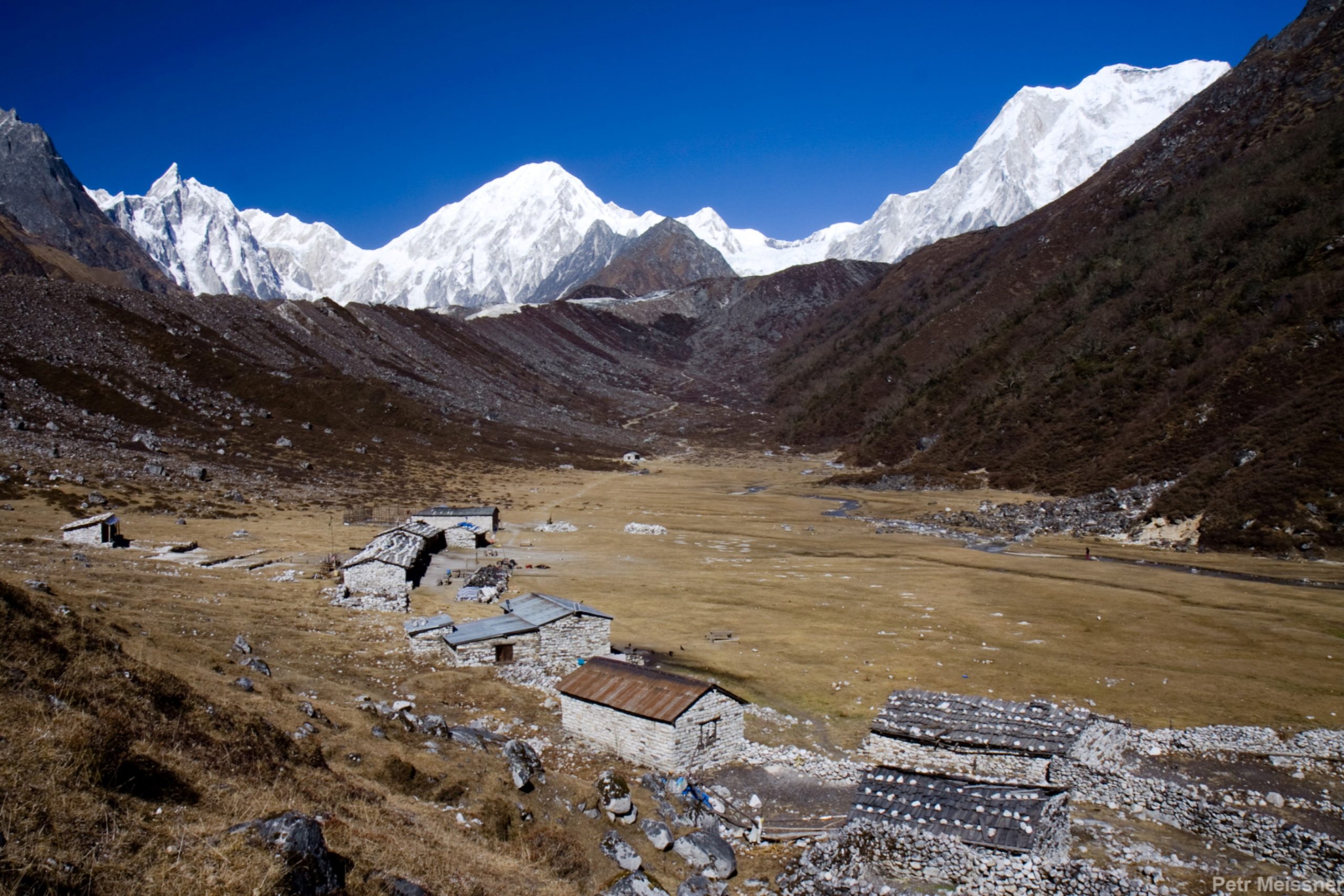
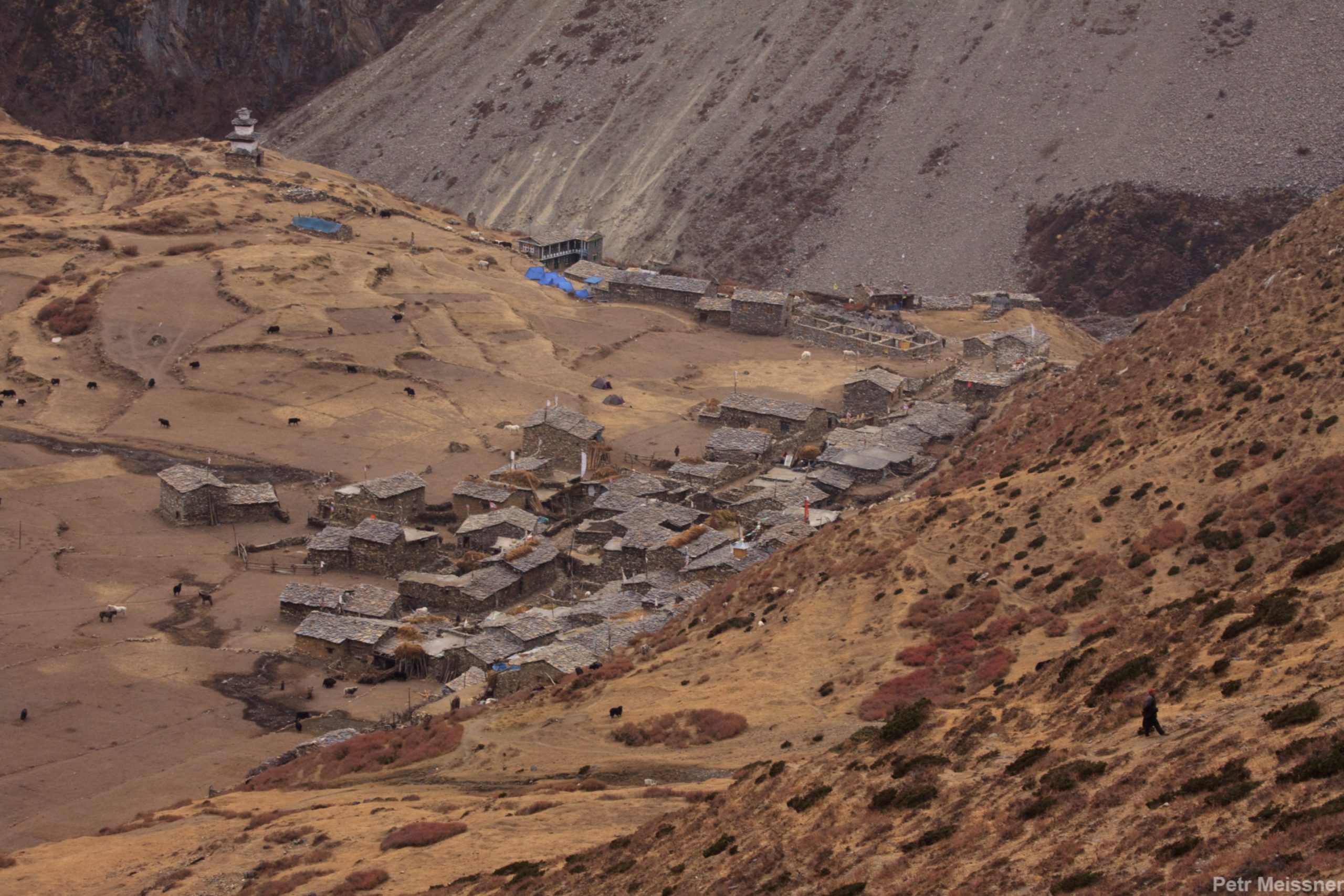
Day 7: Trek to Samdo 3850m
The trail covers a distance of approximately 10 km (6.2 miles) and takes about 5-6 hours of walking time, depending on the pace of the trekker. The route passes through forests, traditional villages, and high-altitude meadows, offering stunning views of the surrounding mountains, including the Annapurna range and Manaslu range. Along the way, trekkers may encounter local communities, traditional cultures, and wildlife, such as Himalayan tahr or blue sheep. Samdo, located at an altitude of 3850m (12,631 ft), is a small village known for its breathtaking mountain views and traditional Tibetan culture. The village is also a popular stopping point for trekkers on the Annapurna Circuit trek and provides a great base for exploring the surrounding region.
Day 8: Trek to Dharmashala 4468m
The trail covers a distance of approximately 8 km (5 miles) and takes about 4-5 hours of walking time, depending on the pace of the trekker. The route passes through high-altitude meadows and rocky terrain, offering stunning views of the surrounding mountains, including the Annapurna and Manaslu ranges. Along the way, trekkers may encounter local communities, traditional cultures, and wildlife, such as Himalayan tahr or blue sheep. Dharmashala, located at an altitude of 4468m (14,665 ft), is a small alpine settlement known for its breathtaking mountain views and remote location. The village provides a great base for exploring the surrounding region and is a popular stopping point for trekkers on the Annapurna Circuit trek. Trekkers should be mindful of the effects of high altitude, including the risk of altitude sickness, and should take the necessary precautions to acclimatize and stay safe.
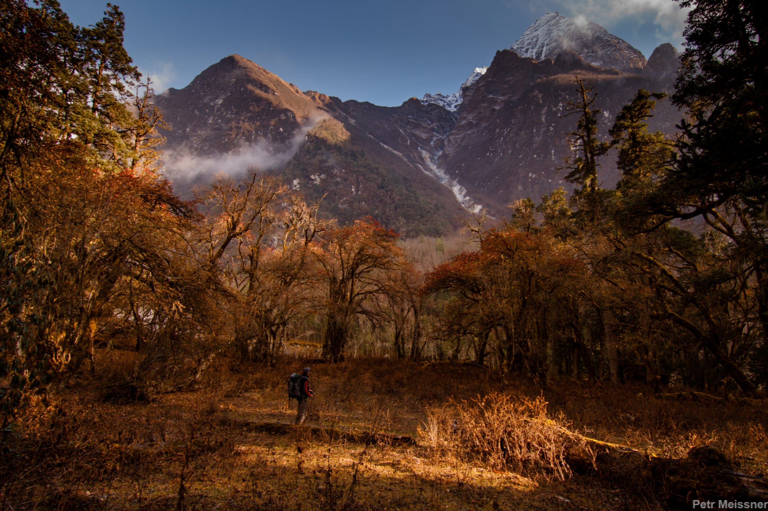
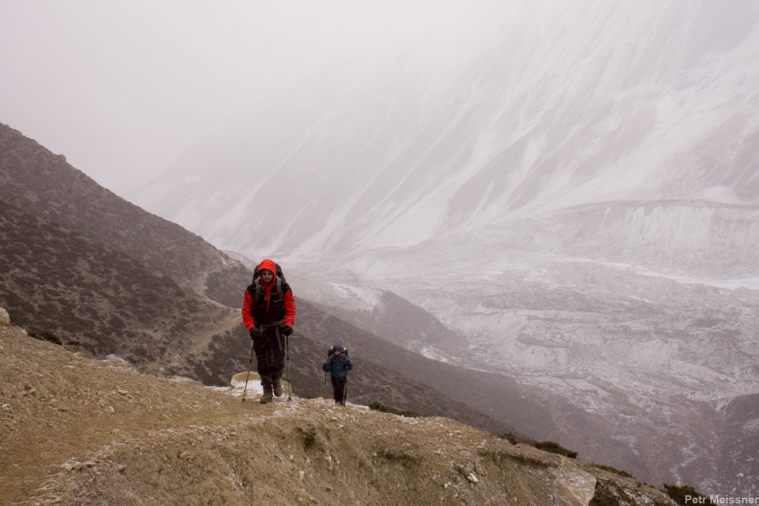
Day 9: Trek to Bimtang 3590m via Larkya La Pass 5160m
The route passes through high-altitude meadows, rocky terrain, and snow-covered passes, offering stunning views of the surrounding mountains, including the Annapurna and Manaslu ranges. The highlight of this trek is crossing the Larkya La Pass, located at an altitude of 5160m (16,929 ft), which provides a panoramic view of the surrounding peaks. Along the way, trekkers may encounter local communities, traditional cultures, and wildlife, such as Himalayan tahr or blue sheep. Bimtang, located at an altitude of 3590m (11,778 ft), is a small village known for its scenic location and traditional culture. The village provides a great base for exploring the surrounding region and is a popular stopping point for trekkers on the Annapurna Circuit trek. Trekkers should be mindful of the effects of high altitude, including the risk of altitude sickness, and should take the necessary precautions to acclimatize and stay safe.
Day10: Trek to Tilche 2300m
The trail covers a distance of approximately 12 km (7.5 miles) and takes about 5-6 hours of walking time, depending on the pace of the trekker. The route passes through forests, traditional villages, and terraced fields, offering stunning views of the surrounding mountains and cultural landscapes. Along the way, trekkers may encounter local communities, traditional culture, and agriculture. Tilche, located at an altitude of 2300m (7,545 ft), is a small village known for its scenic location and traditional culture. The village provides a great base for exploring the surrounding region and is a popular stopping point for trekkers on the Annapurna Circuit trek. This is a less strenuous section of the trek and a good opportunity to rest after the strenuous high-altitude trekking.
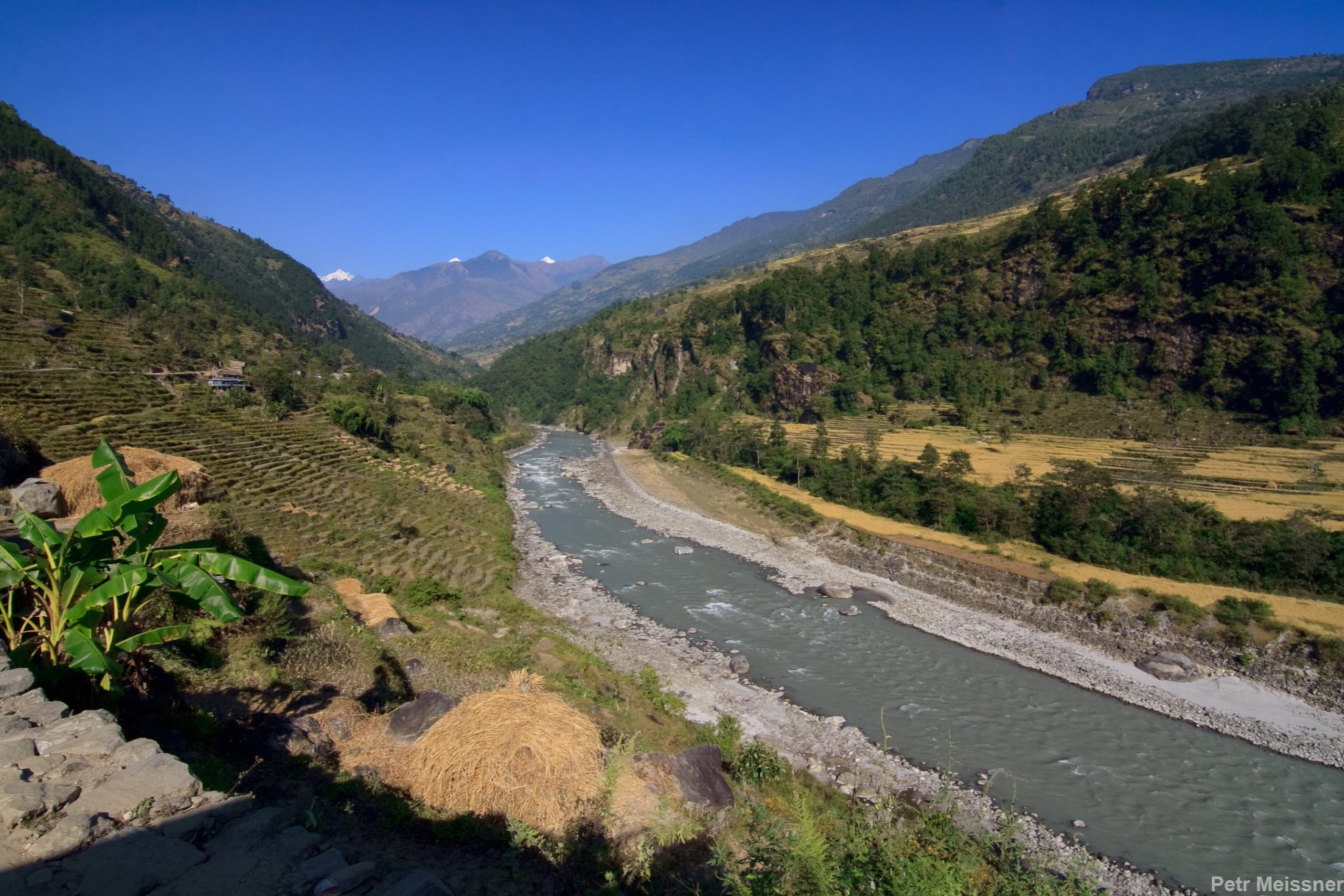
Day 11: Trek to Dharapani 1930m, take a jeep drive to Kathmandu 1400m via Besisahar 825m
The trek from Tilche to Dharapani is a descent in the Annapurna region of Nepal. The trail covers a distance of approximately 17 km (10.5 miles) and takes about 7-8 hours of walking time, depending on the pace of the trekker. The route passes through forests, traditional villages, and terraced fields, offering stunning views of the surrounding mountains and cultural landscapes. Along the way, trekkers may encounter local communities, traditional culture, and agriculture. Dharapani, located at an altitude of 1930m (6,331 ft), is a small village known for its scenic location and traditional culture. The village provides a great base for exploring the surrounding region and is a popular stopping point for trekkers on the Annapurna Circuit trek.
After reaching Dharapani, trekkers can take a jeep drive to Kathmandu, the capital city of Nepal, via Besisahar. The jeep ride covers a distance of approximately 200 km (124 miles) and takes about 8-10 hours of driving time, depending on road conditions and traffic. The route passes through picturesque countryside, traditional villages, and scenic landscapes, offering stunning views of the surrounding mountains and cultural landscapes. Besisahar, located at an altitude of 825m (2,707 ft), is a small town known for its scenic location and cultural heritage. The town serves as the starting point for the Annapurna Circuit trek and provides a great base for exploring the surrounding region.
Backpack: A good quality, durable, and waterproof backpack are essential to carry your gear.
Clothing:
Footwear:
First aid kit:
Miscellaneous:
Note: This list is a general guide and may vary depending on individual preferences, the time of year, and weather conditions. It’s important to check the specific regulations and recommendations for the region you will be visiting.
Congratulation!